
INTERACTIVE THEN & NOW
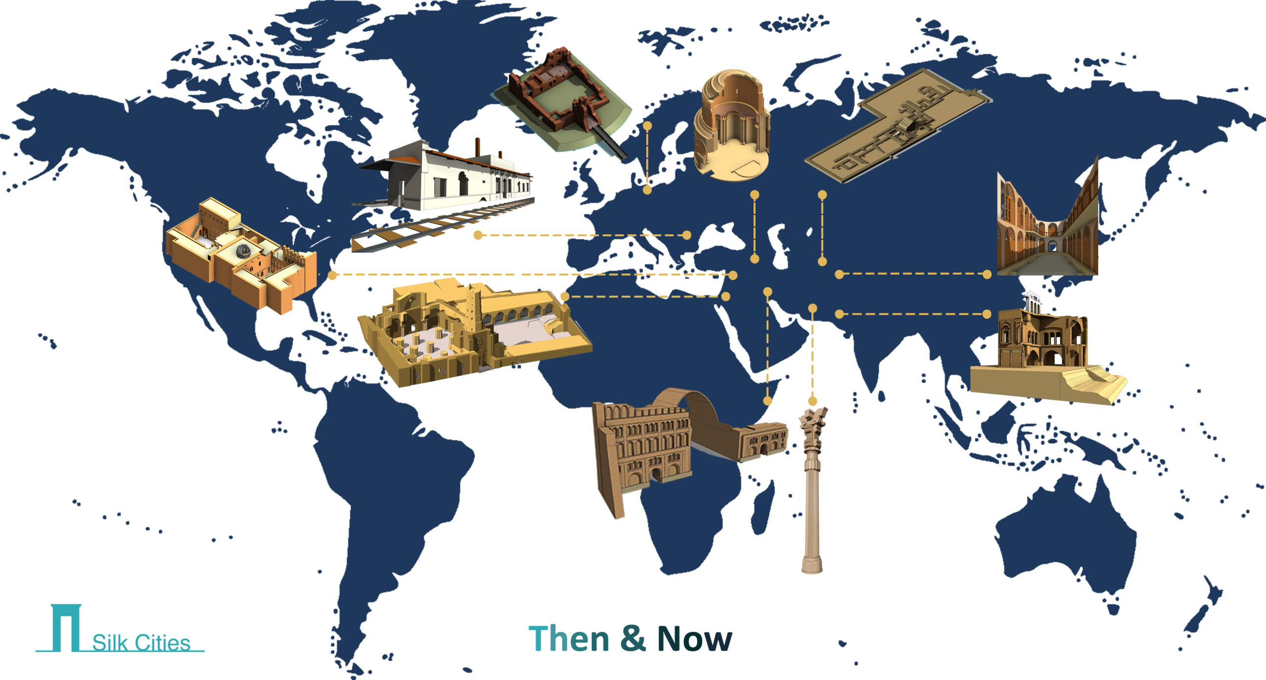
“Then & Now” is an interdisciplinary, research-based, and cumulative digital comparison project that raises global awareness of selected local heritage properties. The project focuses on places of cultural significance to local communities that have been abandoned, destroyed by disaster, or become difficult to access. Bringing together architecture, digital technology, and heritage studies, the project combines research, modelling, interactive presentation, AR/VR, and AI-based visualisation.
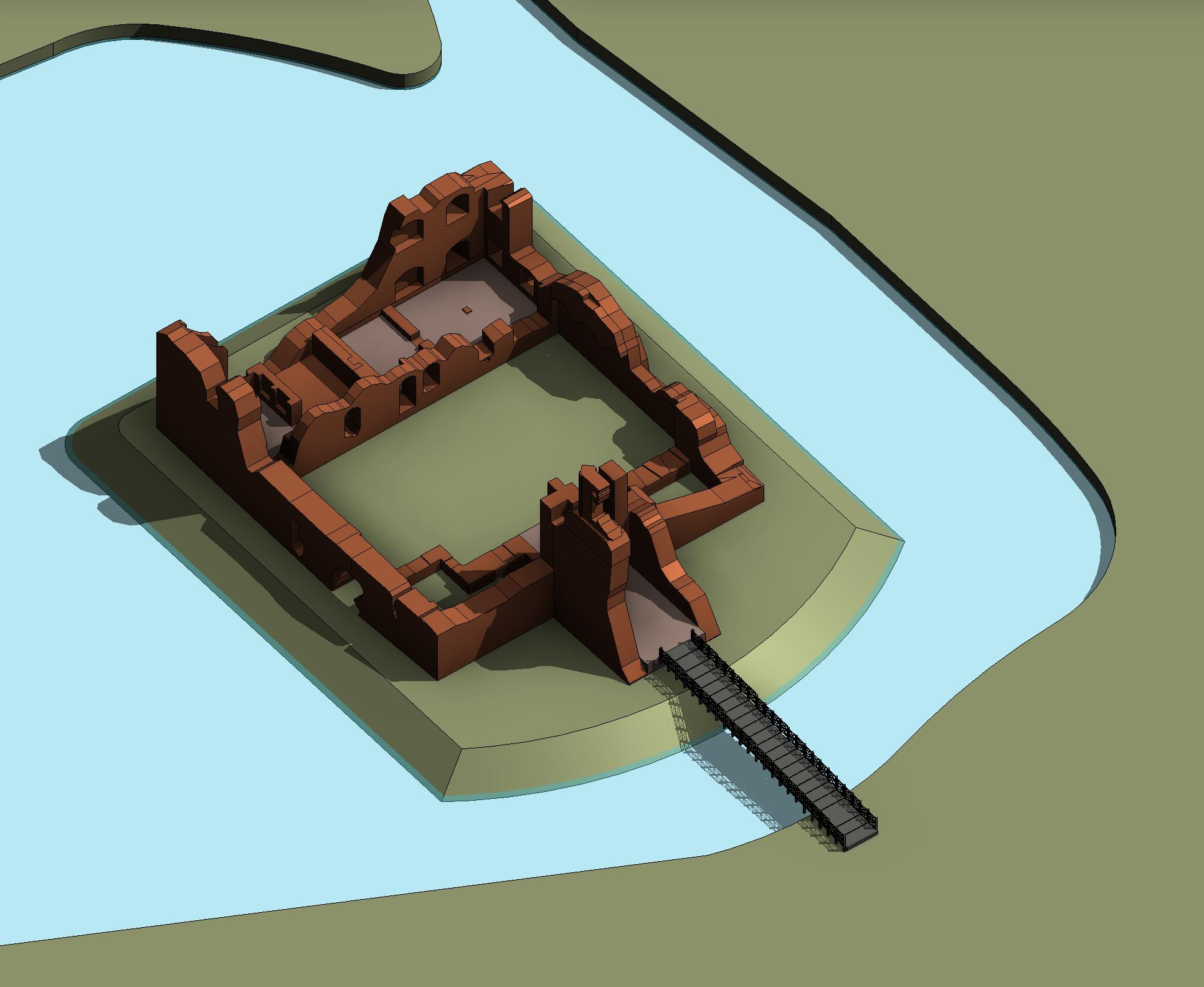
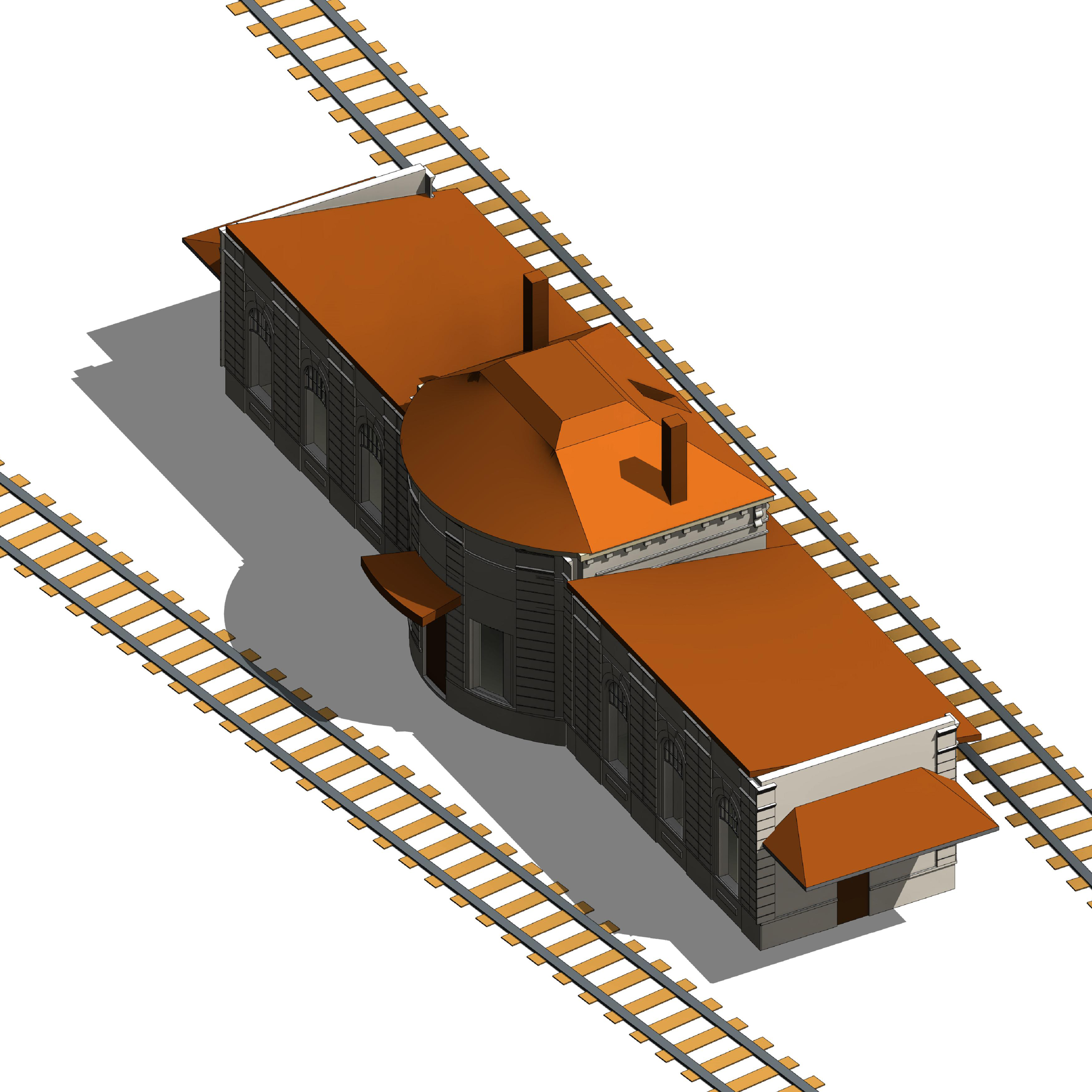
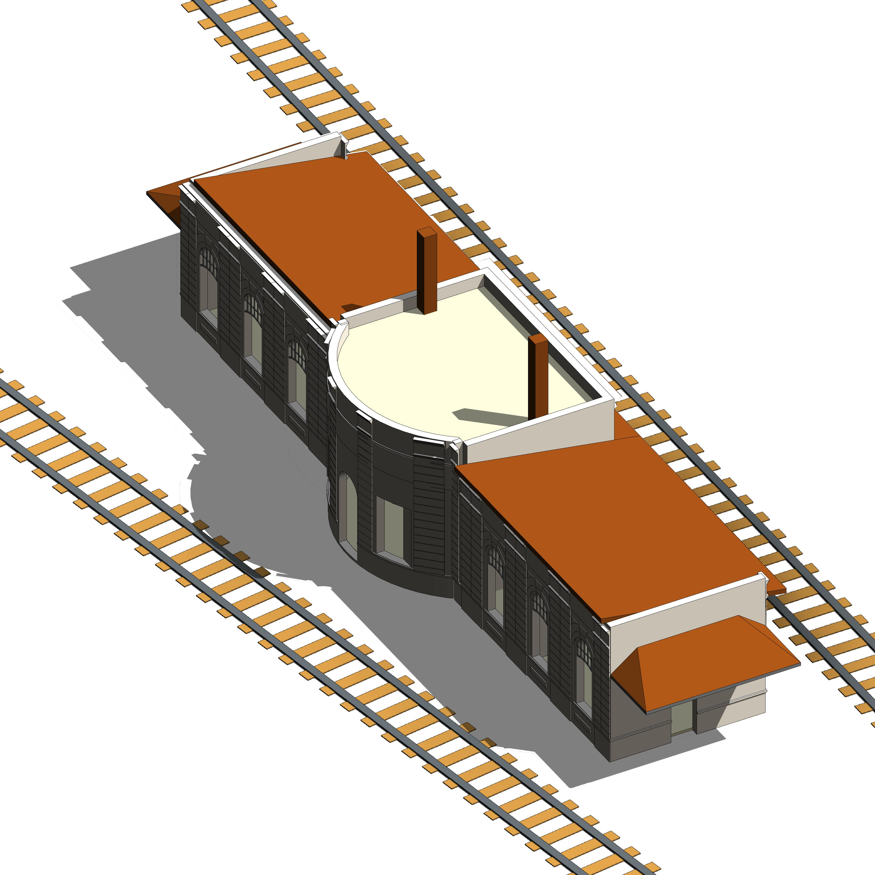
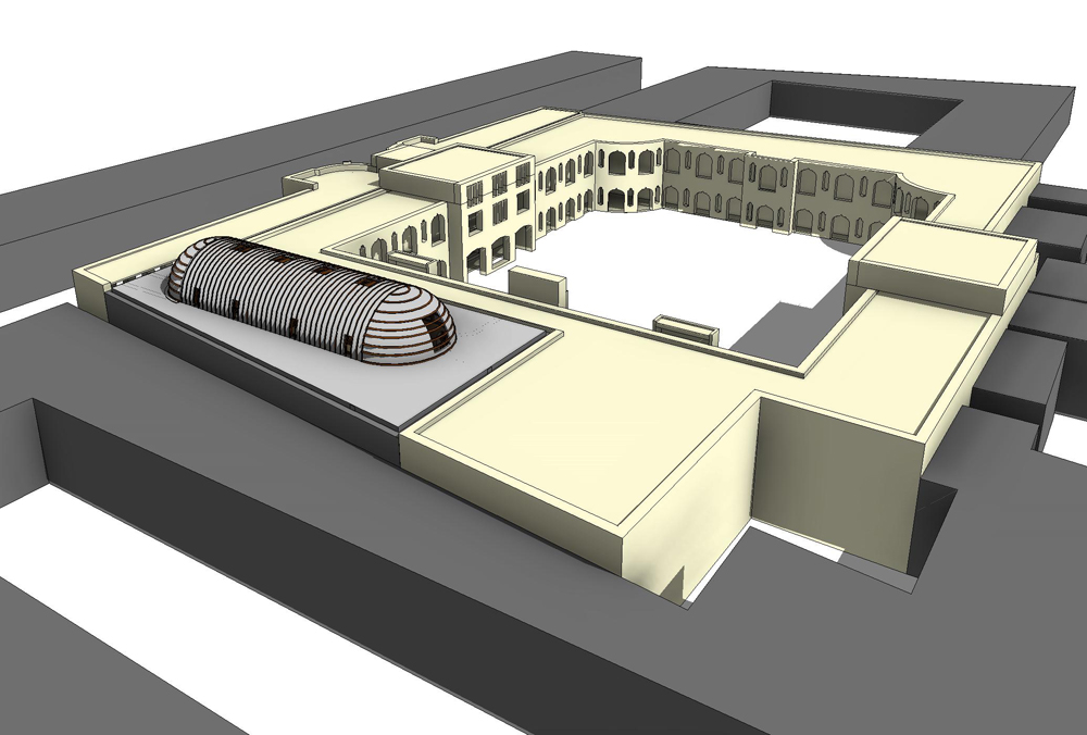
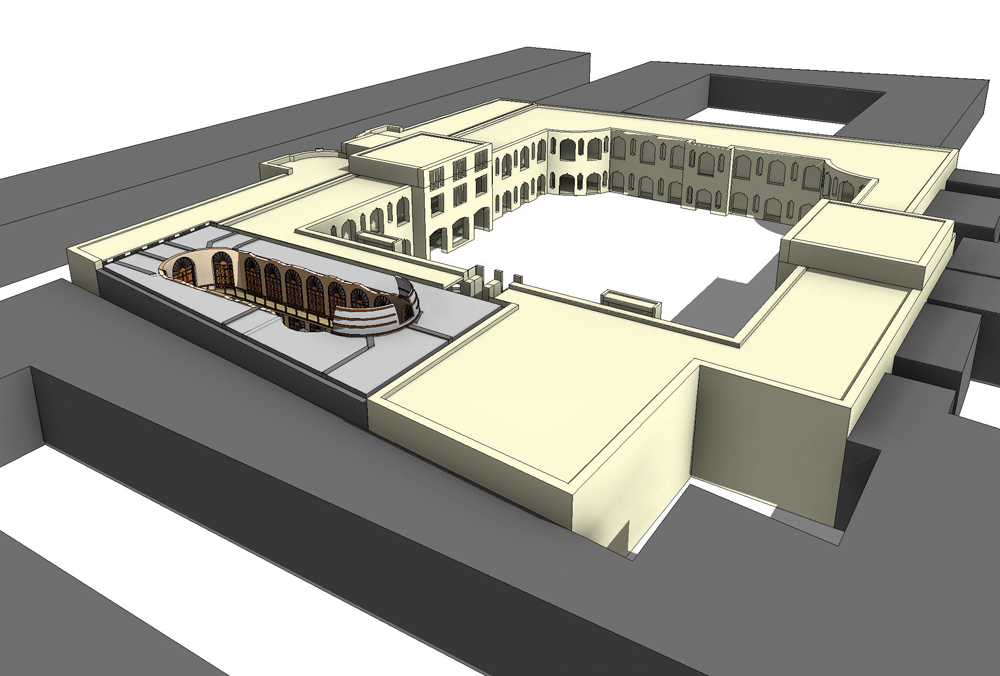
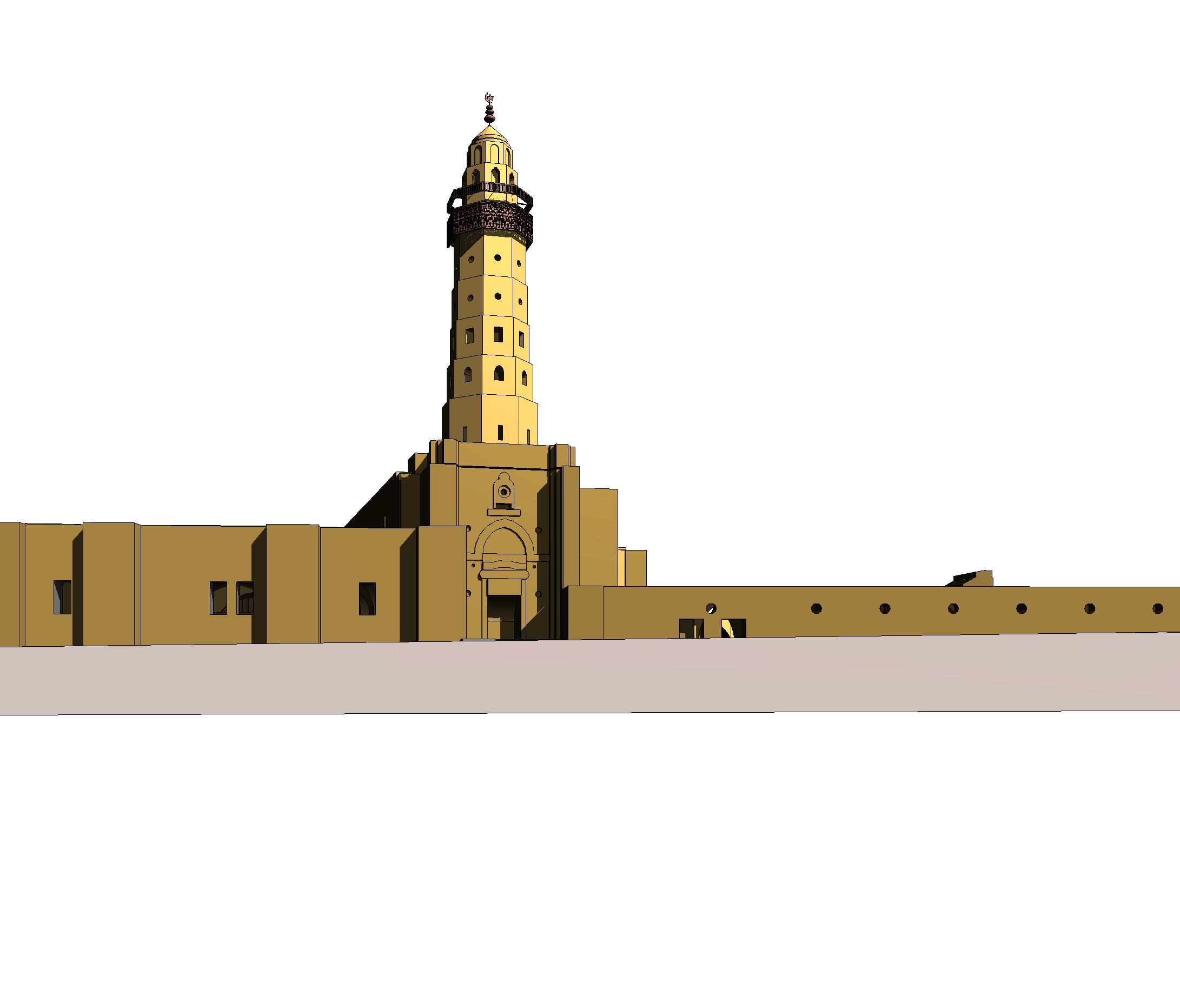
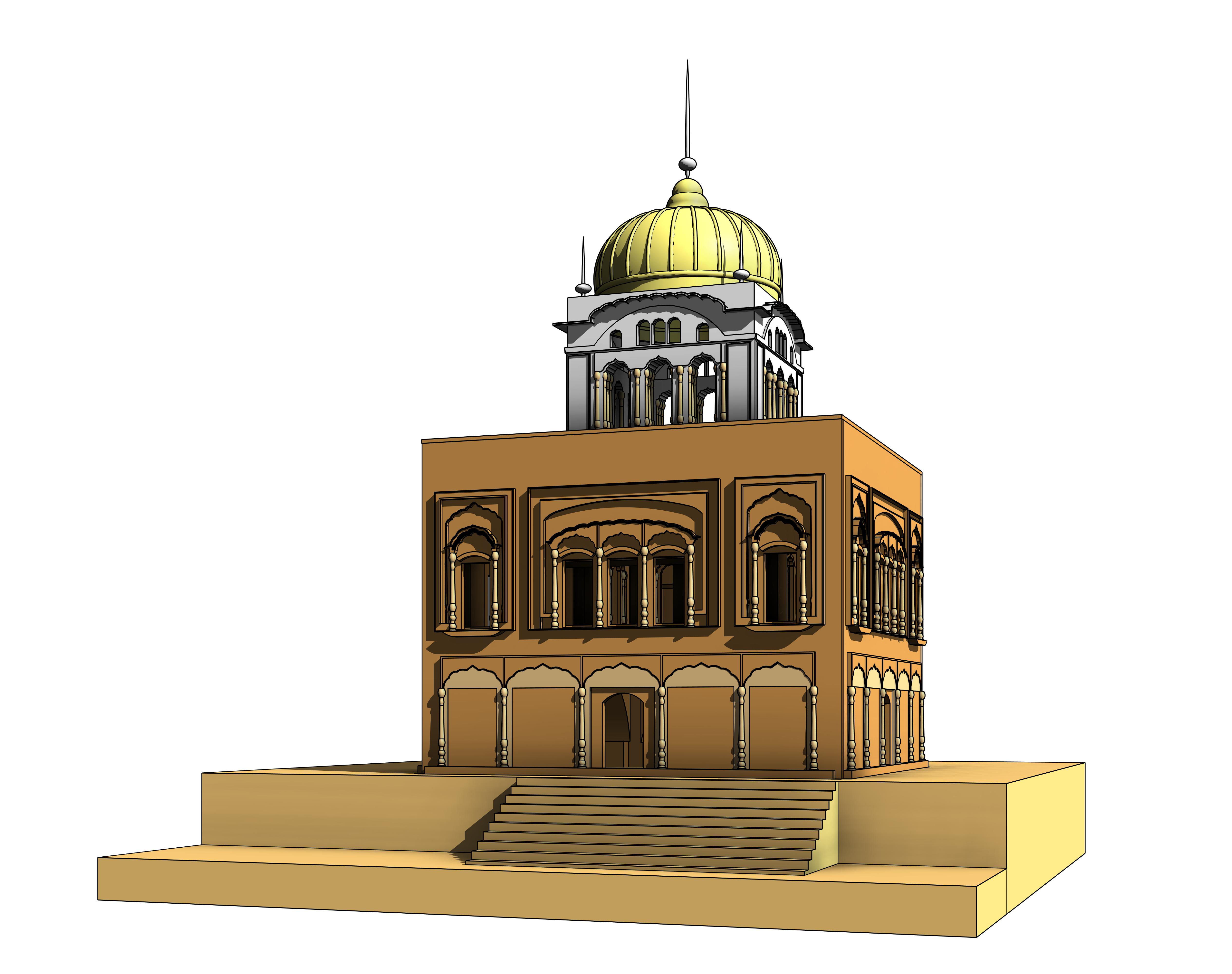
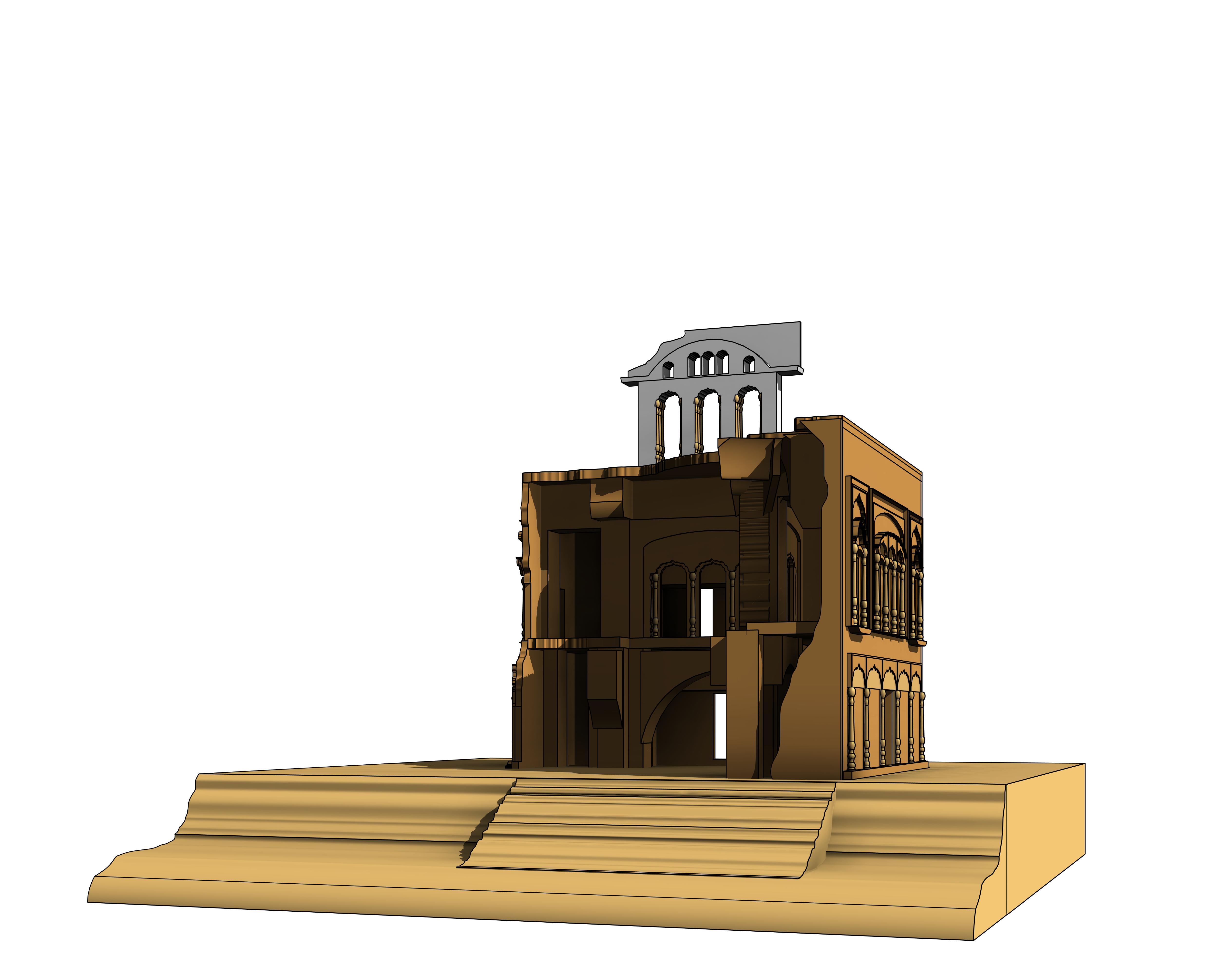
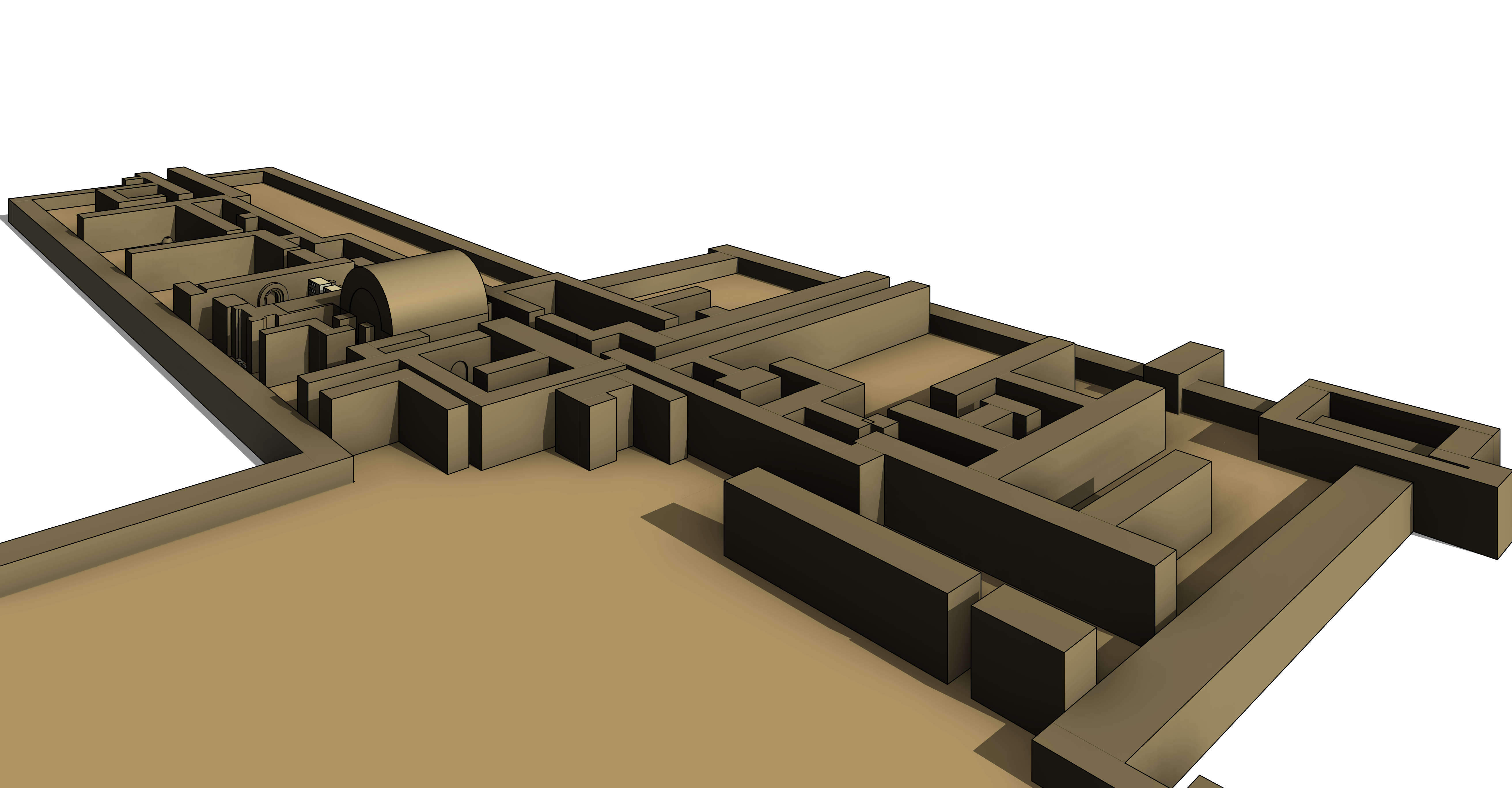
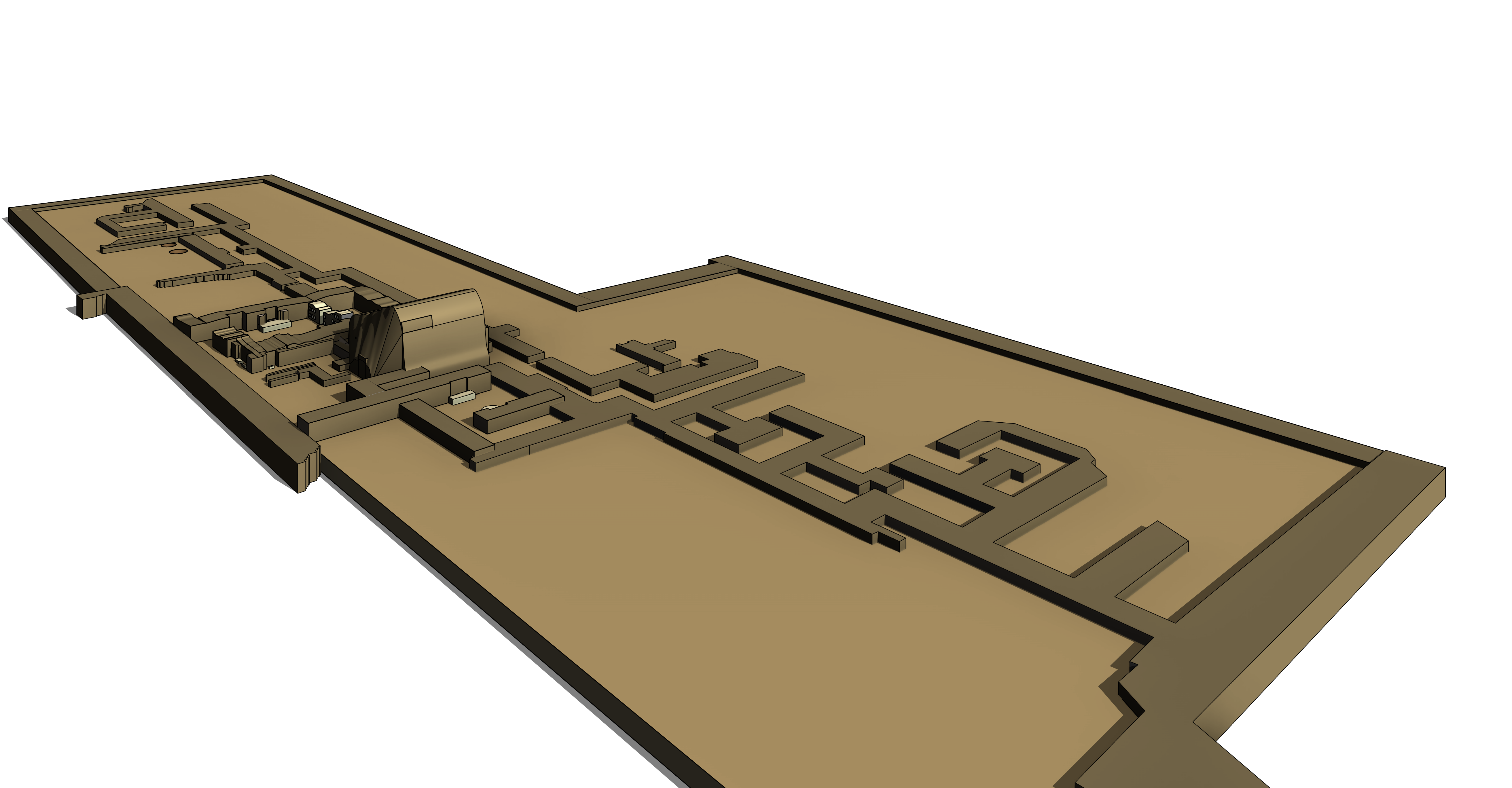
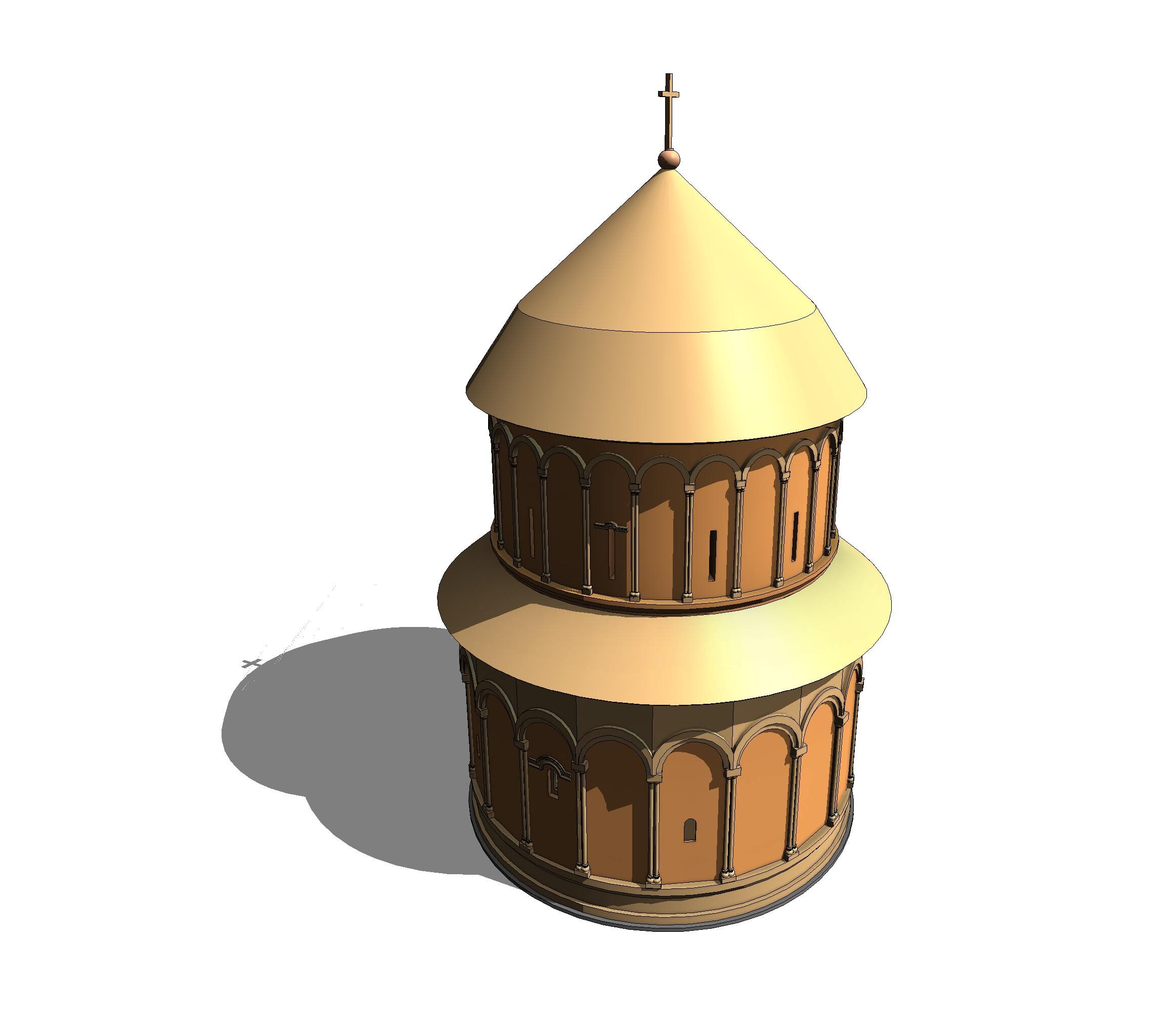
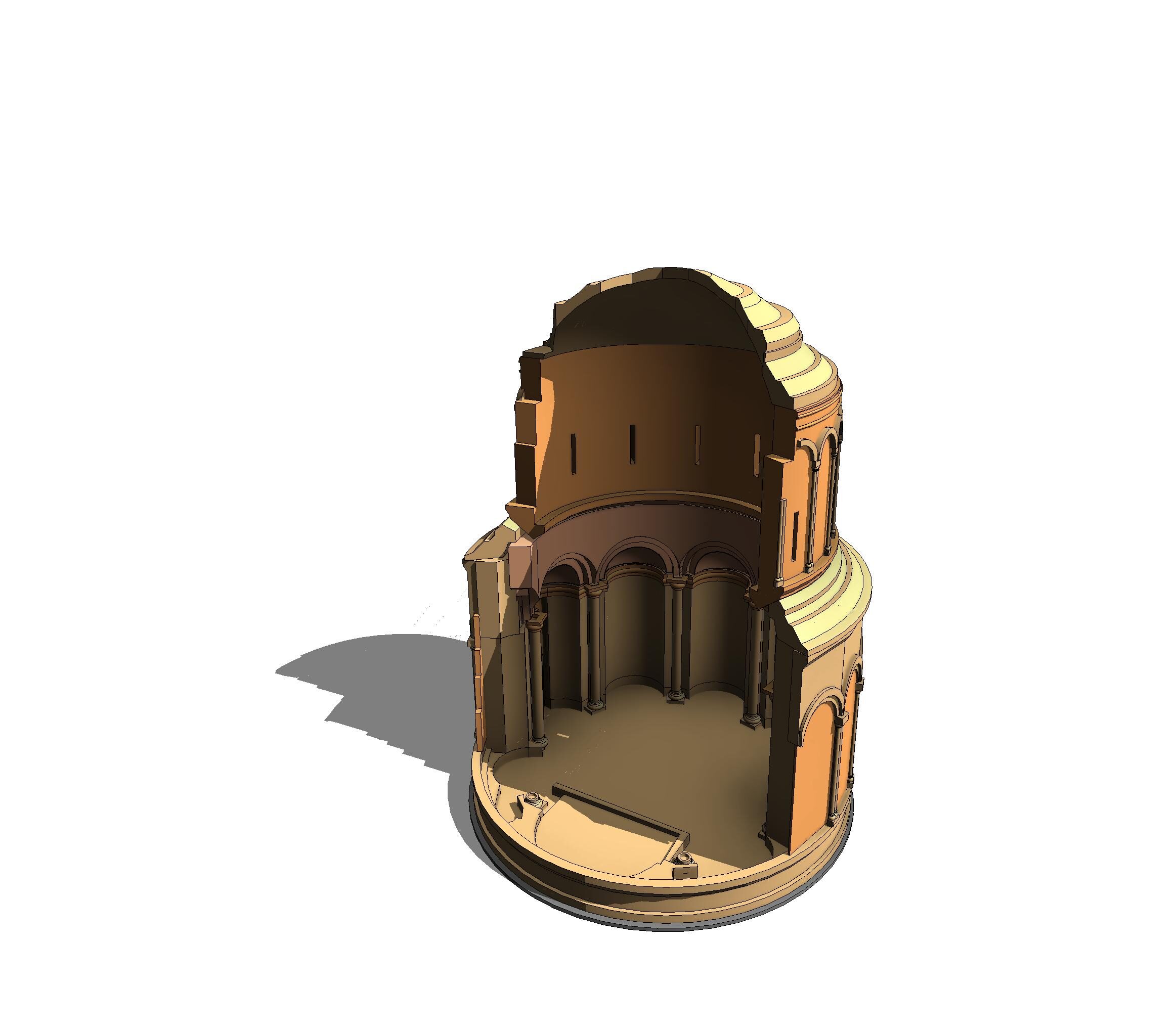
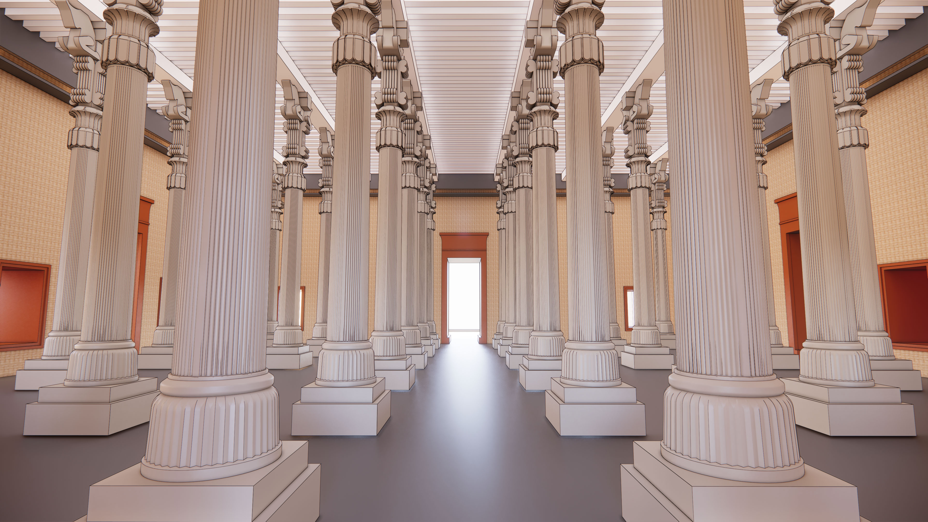
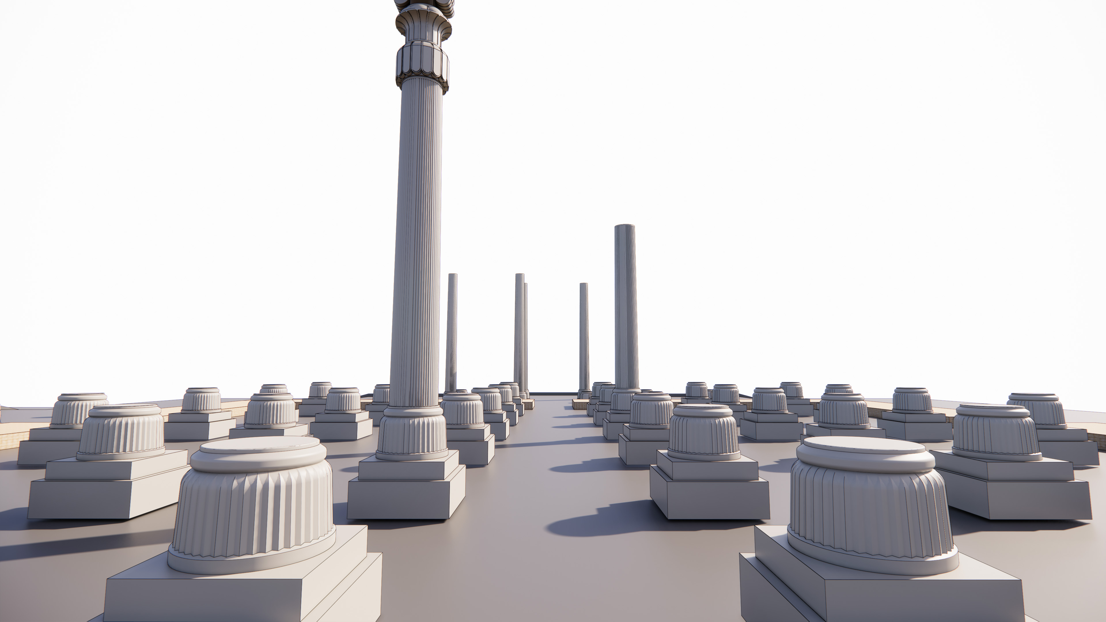
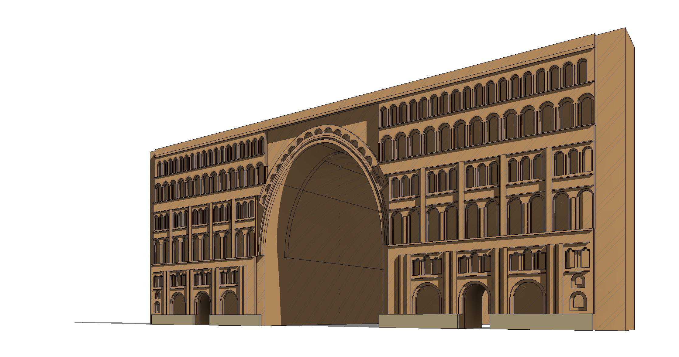
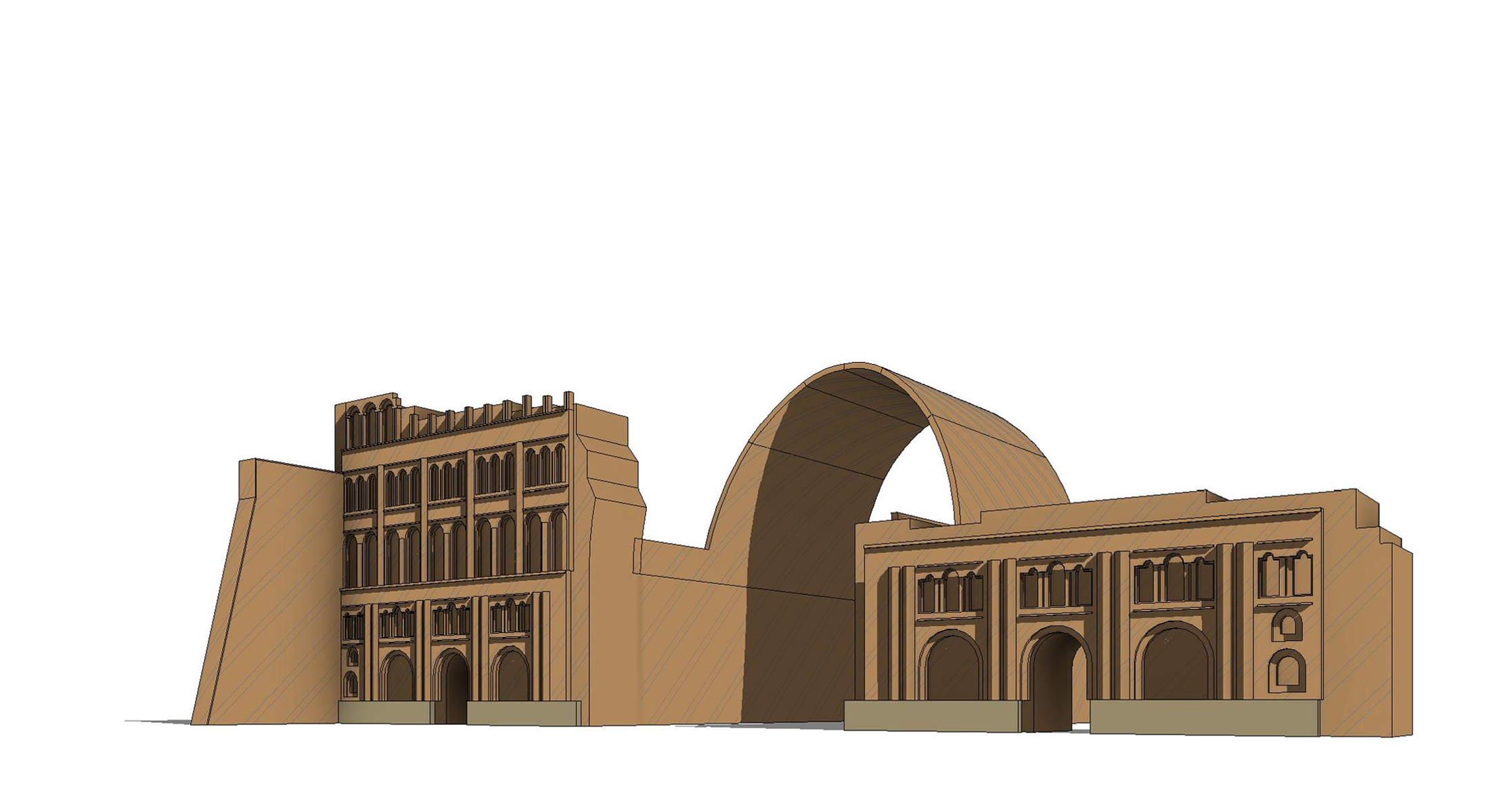
The identification process is systematic and engages the public. Once a property is selected, its architectural and digital models are developed through research into visual and written sources. Its geographic focus is on but not limited to those countries along the Silk Roads countries. The “Then” model reconstructs the property as it was first built, using available documents and historical sources to represent it at real scale and in its complete form. The “Now” model presents the current condition of the property, showing the extent of its deterioration or loss. Illustrations are then produced from these digital models and uploaded to the project website. Each case has a dedicated webpage, accompanied by a research summary and reflections on the case. Our audience are invited to recommend new cases for us.
The website presentations allow viewers to switch between the past and present states of each heritage site, comparing how it looked “Then” with how it looks “Now”. The “Then” models are also integrated into an AR/VR-supported modelling platform, enabling viewers to explore each case from any perspective and at their own pace. The project also uses AI to bring digital heritage models to life for sharing in our social media, strengthening communication with audiences and showing the “Then” state in action. The presentation is accompanied with a research introducing the project to the viewer.
As of June 2026, the project includes 11 cases from nine countries across Asia and Europe as below, with additional cases in development.
- Great Synagogue of Rashkov
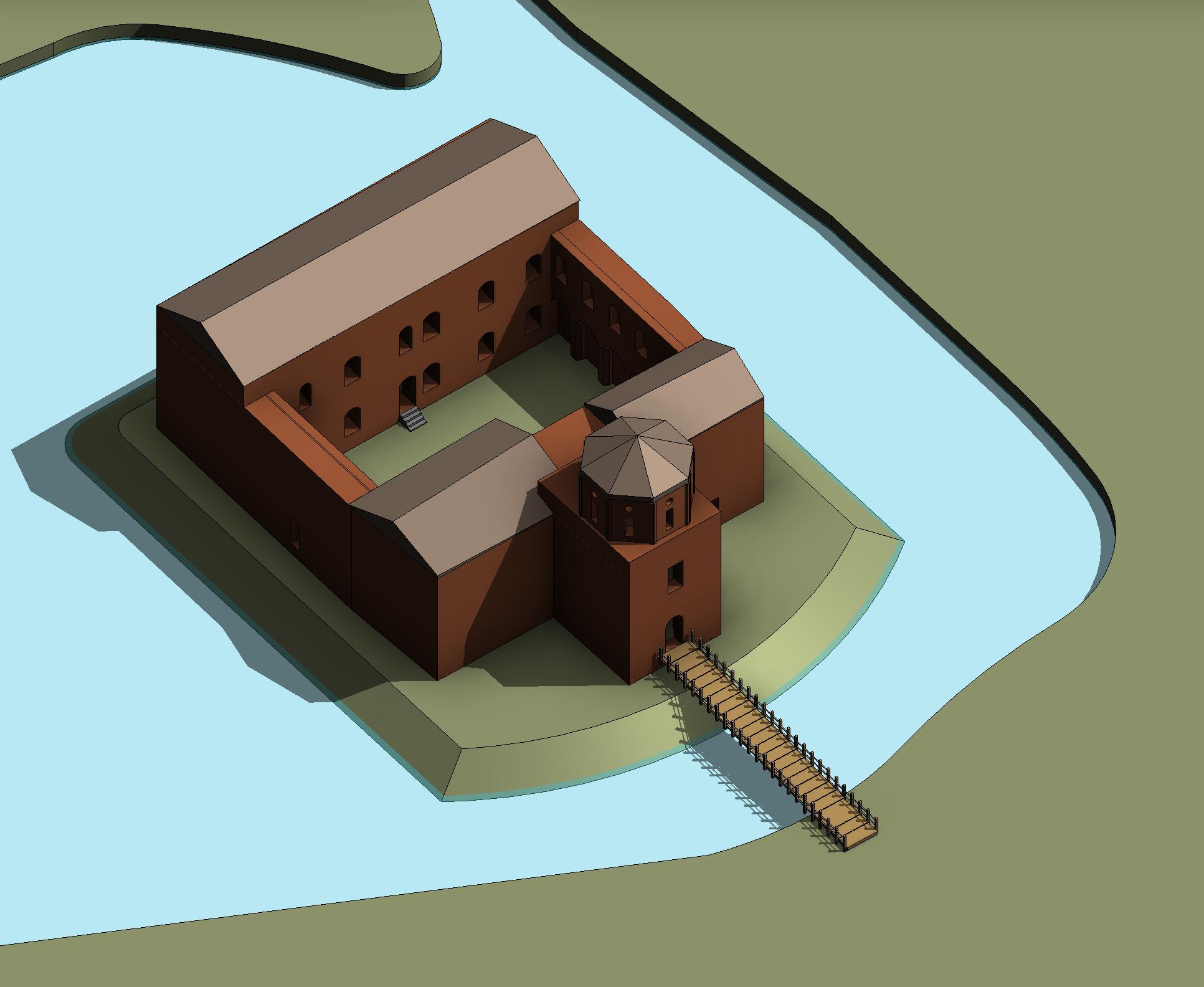
- Zamek w Besiekierach
- Kazichene Royal Station
- Timcheh of Haji Abdul Khaliq Niazi
- The Great Omari Mosque
- Gurdwara Sri Rori Sahib Jahman
- The Tash-k’irman-Tepe Fire Temple
- Bayt Wakil
- Surp Amenap’rkitch Church
- Persepolis
- Taq Kasra
Since April 2024, starting with Bayt Wakil, the new cases presented in this project have more supportive information, such as a brief history, importance, the reason behind its selection, photos and stories about the property if available. We have also announced an ongoing Call for Proposal and have engaged with the local community.
Contribution
You can submit a proposal and nominate your local heritage to a case to increase its international visibility and to be acknowledged for your invaluable participation!
Selection Criteria
Considering potential cases often relates to some of the values below.
- Representation of architectural or urban typology that exemplifies a specific architecture or landscape that illustrates significant stages in local history.
- Association with significant events, beliefs, artistic or any form of intangible heritage of local or international significance.
- Traditional human settlement or land-use which represents a culture, especially when vulnerable due to irreversible change.
- Architectural value with distinguished characteristics.
A fundamental consideration in the selection process is the availability of resources and documents to be used for research and sufficient data needed for digital modelling in multiple platforms. Examples of essential data are previous studies and visual documents such as architectural or archaeological maps and photos.
Although it is an ultimately subjective matter, the project gives priority to those properties, communities and cultures that often are less visible, underexplored or difficult to access that will benefit from increased global visibility and awareness.
The level of physical damage is another consideration in the selection process. Since the final product of the project includes visual illustration, priority is given to those properties which bear scars of neglect, damage or destruction and it is clear in its physical appearance.
Latest project
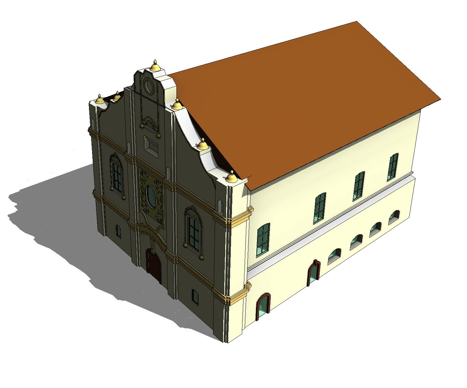
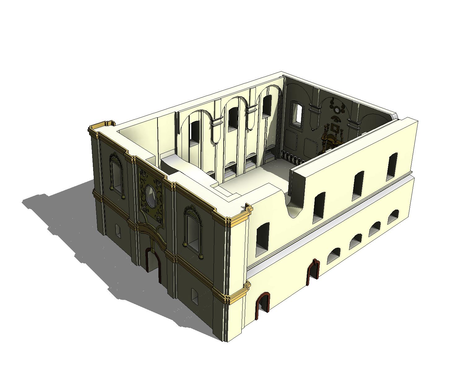
Great Synagogue of Rashkov
The Great Synagogue of Rashkov (Raşcov) is in the village of Rashkov, located in the historic region of Podolia in Eastern Europe with Jewry community being an integral part of Podolian life. At present, Podolia extends to parts of Ukraine and Moldova. The village is on the left bank of the Dniester River, in today’s unrecognised Pridnestrovian Republic (Transnistria), which split from Moldova in 1990–92.



Disclaimer: Models and illustrations presented on the website for all cases are for information only and may not be an exact representation of the property. Silk Cities is not liable for subsequent updates, errors, or omissions of data or any update on the conservation of the property afterwards.